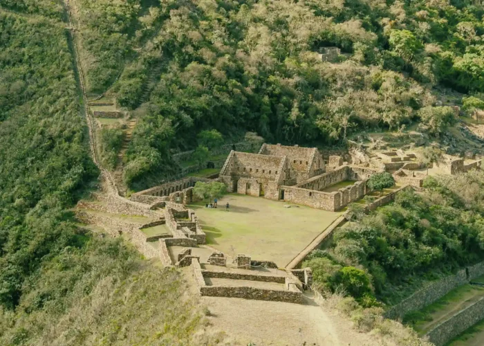
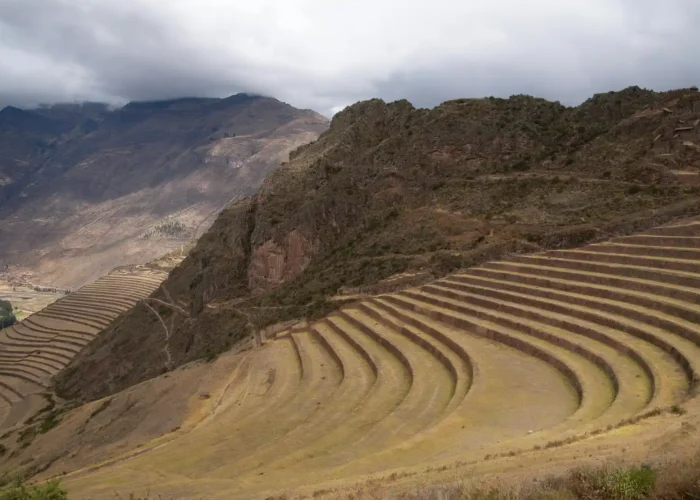
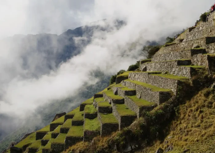
Embark on a once-in-a-lifetime journey with our Private Machu Picchu Tours, designed for discerning travelers seeking an intimate and personalized experience. Avoid the crowds, enjoy expert-guided explorations, and immerse yourself in the rich history of the Inca civilization with a tailor-made itinerary.

With years of experience, we specialize in crafting unforgettable Machu Picchu private tours and hikes. Our expert guides, personalized itineraries, and exclusive services ensure a seamless and immersive journey. Whether you seek adventure, culture, or luxury, we tailor every detail to your preferences, offering an unparalleled travel experience.
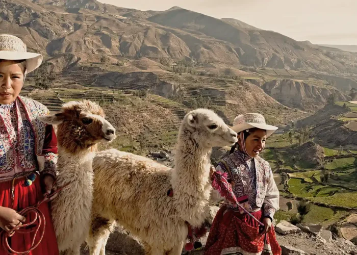
For 40 years, Andean Origins has perfected the way to explore Machu Picchu with exclusive private tours. Our commitment to authenticity, excellence and personalized service distinguishes us as the best choice for an unforgettable trip.
Call us
Contact Us
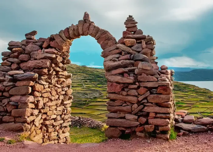
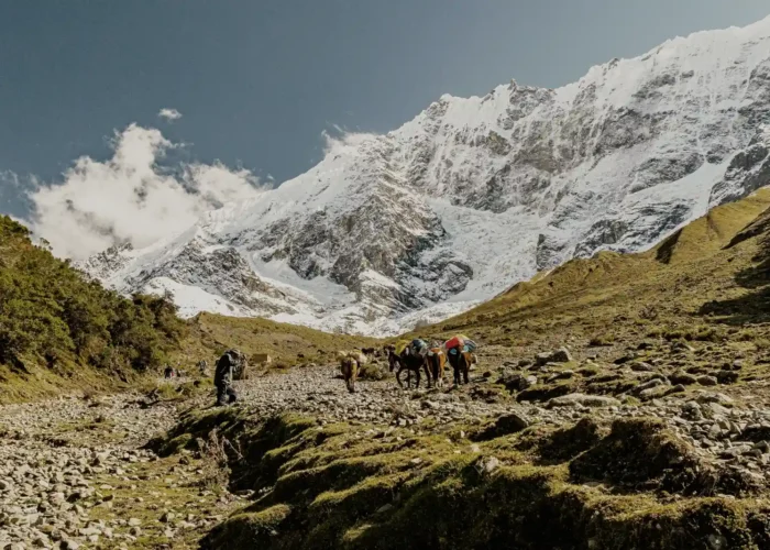
We offer you individual car tours. They will take you “off the beaten track” through our perfectly elaborated tours. !”Experience Peru”!
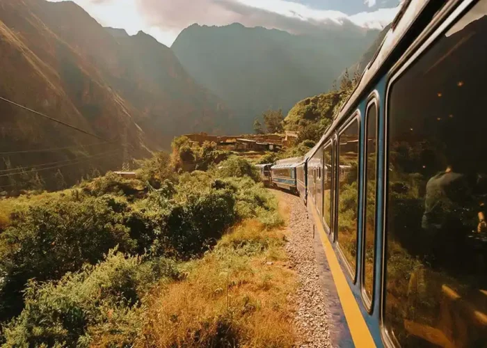
Travel comfortably from Cuzco or Ollantaytambo to Aguas Calientes in 4-2 hours.
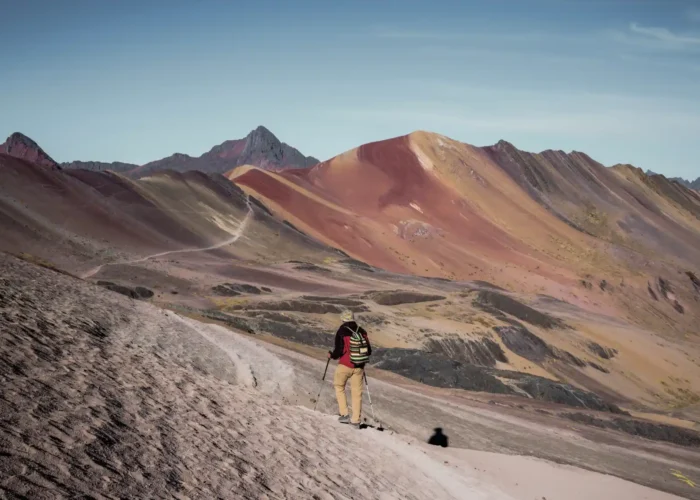
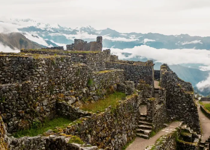
Learn MoreExplore the Andes +Machu Picchu: Discover the cultural and natural richness of Peru.
Learn More